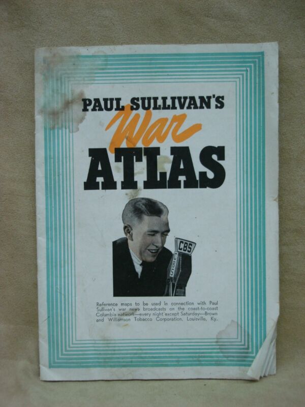
Vintage 1939 Paul Sullivan’s War Atlas – Detailed World War II Maps, 32 Pages
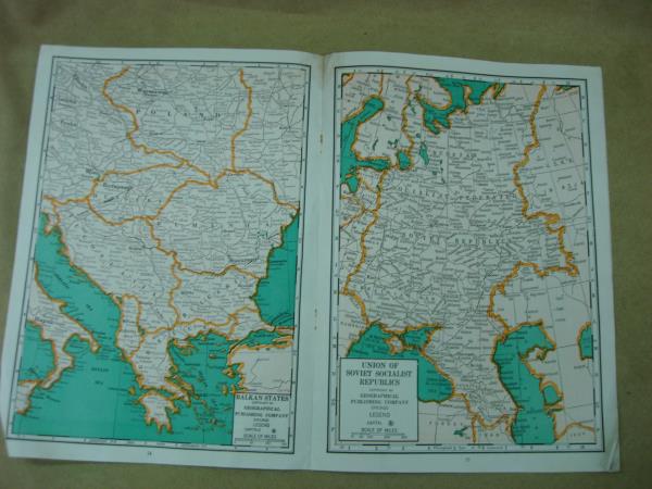
Offered is a vintage 1939 “Paul Sullivan’s War Atlas” map guide booklet. This informative reference tool comprises 32 pages of detailed maps by Geographical Publishing Co., Chicago, Illinois. Originally designed to accompany radio news broadcasts during World War II, this atlas visually depicted the progress of battles across Europe. It covers all European countries and British & French colonial possessions with intricate detail. The booklet was a promotional item brought to you by Williamson Tobacco Corporation, Louisville, Kentucky. Despite its age, this vintage atlas retains all 32 pages which are bright and clear.


